The Diorama Table
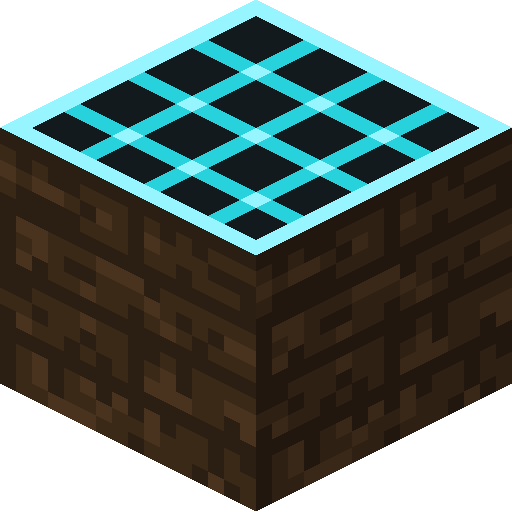
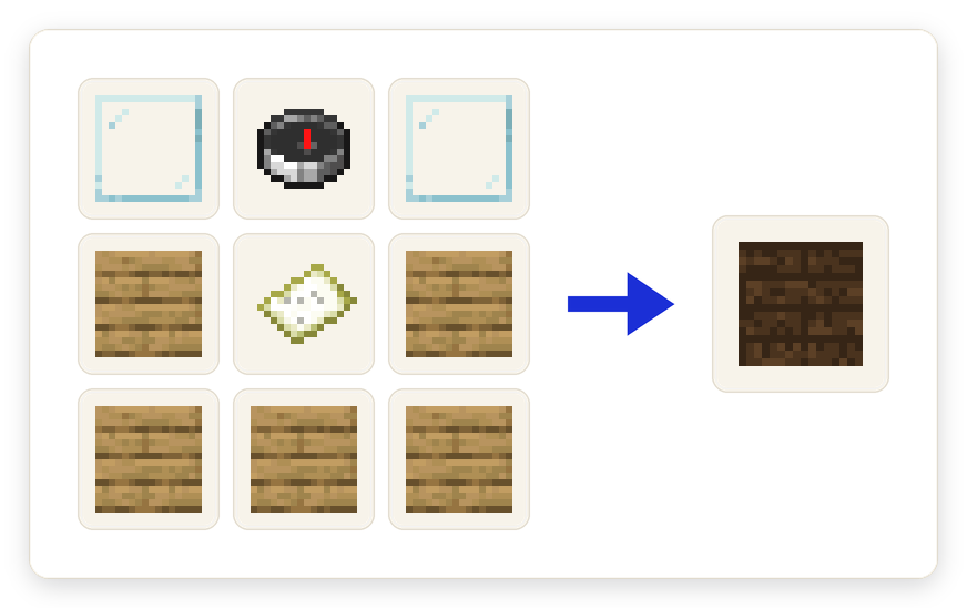
Place the table, capture a region, and it projects that terrain as a rotating relief-map hologram hovering above the tabletop. Every column of the miniature uses the actual block model and texture from the world, not a flat colour, so forest reads as raised canopy and stone reads as stone. The capture keeps a strip of blocks under each surface, so cliff faces and cut edges show real subsurface layers instead of a floating skin. Grass, foliage and water take their proper biome tints, and the whole thing is full-bright so it reads indoors or at night.
Tip: Ice, stained glass and water are drawn in a later pass, so frozen lakes show the water underneath.
Captures are things you can carry
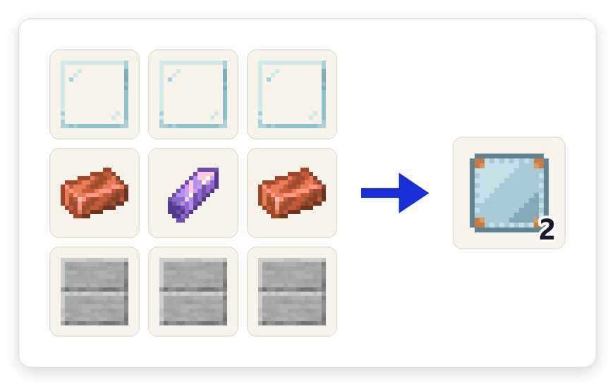
A table only ever displays an inserted Vista Plate. The plate itself is the capture: it carries a tooltip saying where the view was taken, which dimension it came from and how many biomes it spans, and it gets named and tinted after its main biome. Insert it to display, eject it to survey somewhere else, and break a table and its plate drops safely. Take a plate into a world that has never seen it and it becomes a faded vista; you keep the item, but there is nothing to show.
Tip: A single table plus a shelf of plates is a museum: swap the plate to change the landscape on display.
Three ways to capture
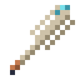
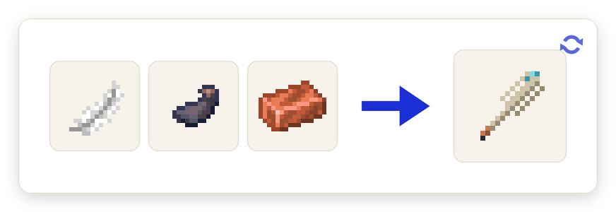
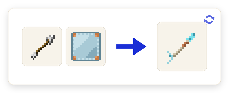
Right-clicking a table with an empty plate surveys 128 blocks around the table. Holding an empty plate and waiting about three seconds surveys 64 blocks around you, choosing surface or cave mode automatically. Or craft a Scanner Arrow (an arrow plus a plate) and shoot it: it captures 64 blocks where it lands and the scan comes back to the shooter as a filled plate. All three sizes are server config values.
Tip: The arrow is the only way to capture ground you cannot safely stand on, which is most of the good ground.
Cave scans
A capture taken underground switches to cavity mode on its own. Instead of taking a surface, it flood-fills the connected air of the cave you are in and captures that: a hollow model of the cave system rather than the rock above it. The fill is bounded and only ever reads loaded chunks, so it cannot run away with your server.
Tip: The advancement for a cave capture is called Depth Perception.
Pins and the Surveyor's Compass
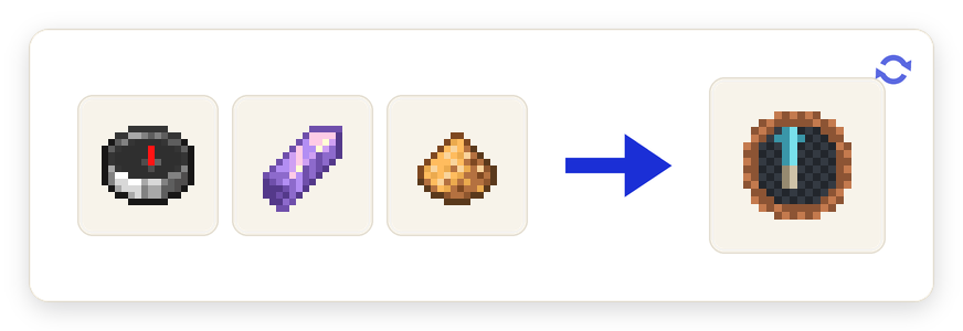
The Cartographer's Quill picks a single column out of the hologram, even while it is spinning, and opens a screen to give that spot a name and a colour. Up to six pins live on a vista and travel with the plate wherever it goes. Link a Surveyor's Compass to the table and it snapshots those pins, then renders them out in the real world as coloured beams with floating nameplates, so you can walk to a place you chose off a model.
Tip: Walking to a pinned spot while holding the linked compass earns "X Marks the Spot".
The Grand Diorama Table
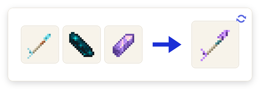
Four tables in a 2x2 square automatically form one Grand Diorama Table with twice the footprint and double the capacity, 256 blocks square instead of 128. A Grand Scanner Arrow (a Scanner Arrow plus an echo shard and an amethyst shard) captures at that larger size. A normal table refuses an oversized plate with a hint telling you it needs a Grand table. Breaking any part unforms the whole thing.
Tip: Sneak-use a captured plate on a displaying Grand table and the two overlapping captures merge into one.
Survey satellites
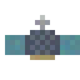
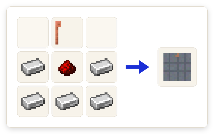
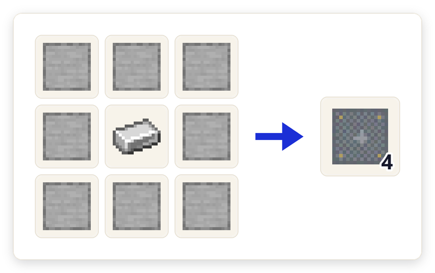
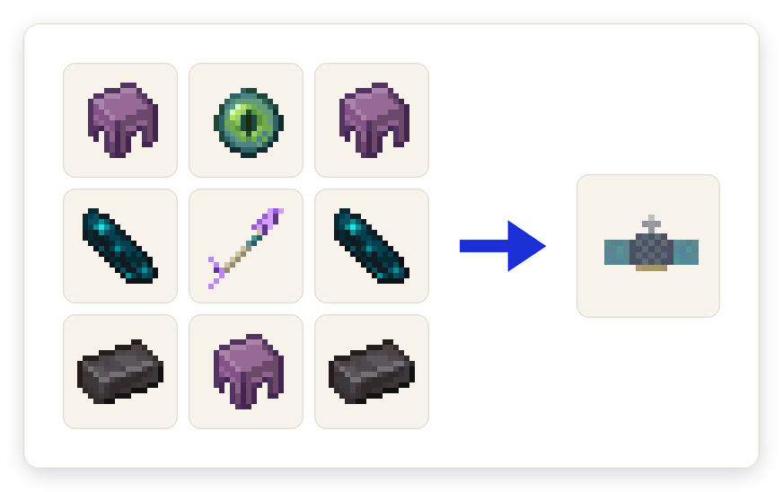
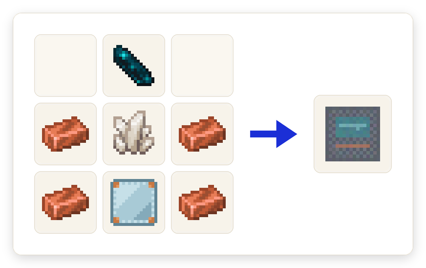
The late-game path. Craft a Satellite Assembly around a Grand Scanner Arrow, build a 3x3 Launch Pad Base with a Launch Gantry, and use it: a ten-second beeping countdown runs, then the satellite lifts off on a column of particles and climbs out of sight. Up to three can be in orbit at once. Build a Satellite Uplink, insert an empty plate, type in an X and Z and a region size, and request a pass. The satellites work a shared queue and the screen shows your position in it and an estimated wait.
Tip: The uplink tells you exactly why a request failed, from "No satellites in orbit" to "The orbital lanes are full."
Nothing is ever force-loaded
No capture, arrow, plate or satellite pass will ever load or generate a chunk. Any part of a region that is not already loaded is simply left as a gap until you capture again, and a satellite pass over a region with nothing loaded returns a plate stamped SIGNAL LOST. This is a design rule, not a limitation to be configured around; the alternative is a right-click that generates terrain for free.
Tip: On a server this doubles as a feature: you can only image places where something is actually happening.